Reshapes and drains an 8.6-hectare site at Cherrywood/Glebe and stores topsoil on a further 5.1 hectares at Laughanstown.
Cherrywood/Glebe, (ED Rathmichael), Wyvattville Link Road, Co. Dublin.
- 8.6
- hectares
- 5.1
- hectares topsoil
- 1.5
- hectares fill
Nearby in Cherrywood
17 decisions within 250 m of this site
Around it
17 within 250 mGranted · 20 Jun 2023
418 build-to-rent apartments in four blocks of up to 5 storeys at Town Centre 3, with shops, cafés and community space.
Granted · 6 Mar 2007
Completes the distributor road through Park One at Cherrywood Business Park, letting overhead power lines go underground.
Granted · 28 Aug 2020
Allows up to 229 spaces in the basement car park of office Blocks F1–F3 to be used for temporary parking for 7 years.
Granted · 7 Nov 2017
Uses land off Cherrywood Avenue as a temporary car park for about 740 cars for 5 years.
Refused or withdrawn · 26 Apr 2017
Uses land off Cherrywood Avenue as a temporary car park for about 740 cars for 5 years.
Granted · 18 Feb 2025
Shrinking the temporary Red Zone car park on Cherrywood Avenue to about 398 spaces for another 5 years, and opening 226 basement spaces at The Campus.
Granted · 14 Mar 2023
Keeping the temporary Red Zone surface car park for about 740 cars on Cherrywood Avenue for another 5 years.
Refused or withdrawn · 28 Jan 2008
Builds a multi-storey car park with 1,081 spaces and 10 ground-floor shops at Cherrywood Business Park.
Granted · 13 Apr 2021
A mixed-use block at Town Centre 3 with an 8-storey office building and 198 build-to-rent apartments.
Granted · 29 Jun 2026
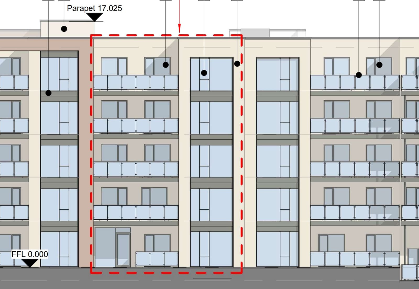
Amends a permitted apartment scheme on Cherrywood Avenue to go from 67 to 70 apartments, with more parking.
Refused or withdrawn · 22 Dec 2025
Amends a permitted apartment scheme on Cherrywood Avenue to go from 67 to 70 apartments, with more parking.
Granted · 2 Nov 2023
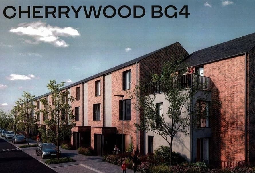
Builds 44 homes, houses and two-level units, off Cherrywood Avenue.