Builds an above-ground gas pipeline facility with a new 601-metre access route off Lehaunstown Lane.
Lands (c.1.87 ha) in the townland of Laughanstown, Dublin 18
- 1.87
- hectares
- 601
- metre access route
- 2
- structures
Nearby in Cherrywood
16 decisions within 500 m of this site
Around it
16 within 500 m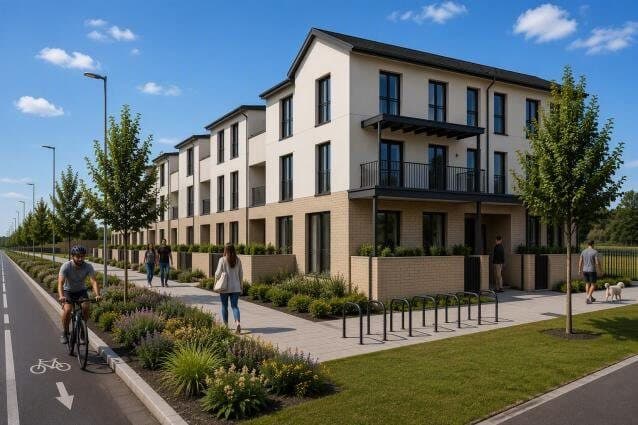
More information requested · 22 Sep 2026
32 new homes, mostly 3-bed two-level apartments, off Bishop Street in Macnebury.
Granted · 11 Nov 2022
About 1.6km of new roads including Beckett Road with an underpass below the Wyattville Link Road, plus a park around an ancient wedge tomb.
More information requested · 22 Sep 2026
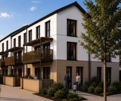
40 new homes, mostly 3-bed two-level apartments, off Castle Street in Macnebury.
Granted · 2 Dec 2022
Builds 65 three-bed homes in five three-storey blocks in Macnebury, west of Castle Street.
Granted · 7 Nov 2023
Changes a condition so 66 permitted homes in Macnebury can be occupied before the Cherrywood Avenue/Beckett Road underpass is built.
Granted · 12 Dec 2017
Sets up a temporary concrete plant for 7 years to supply the building of Cherrywood.
Granted · 28 Nov 2006
Builds a 110 kV ESB electrical transformer station in Laughanstown.
Granted · 15 Jan 2026
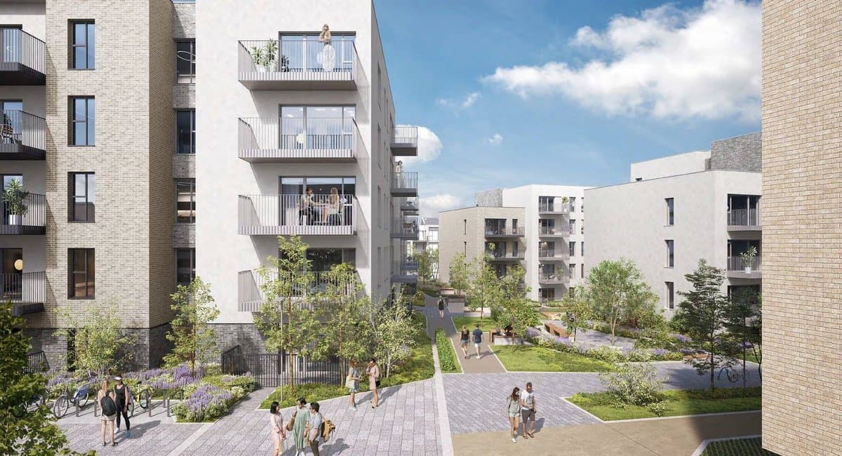
121 apartments in two blocks of 3 to 5 storeys off Cherrywood Avenue in Macnebury.
Granted · 26 May 2025
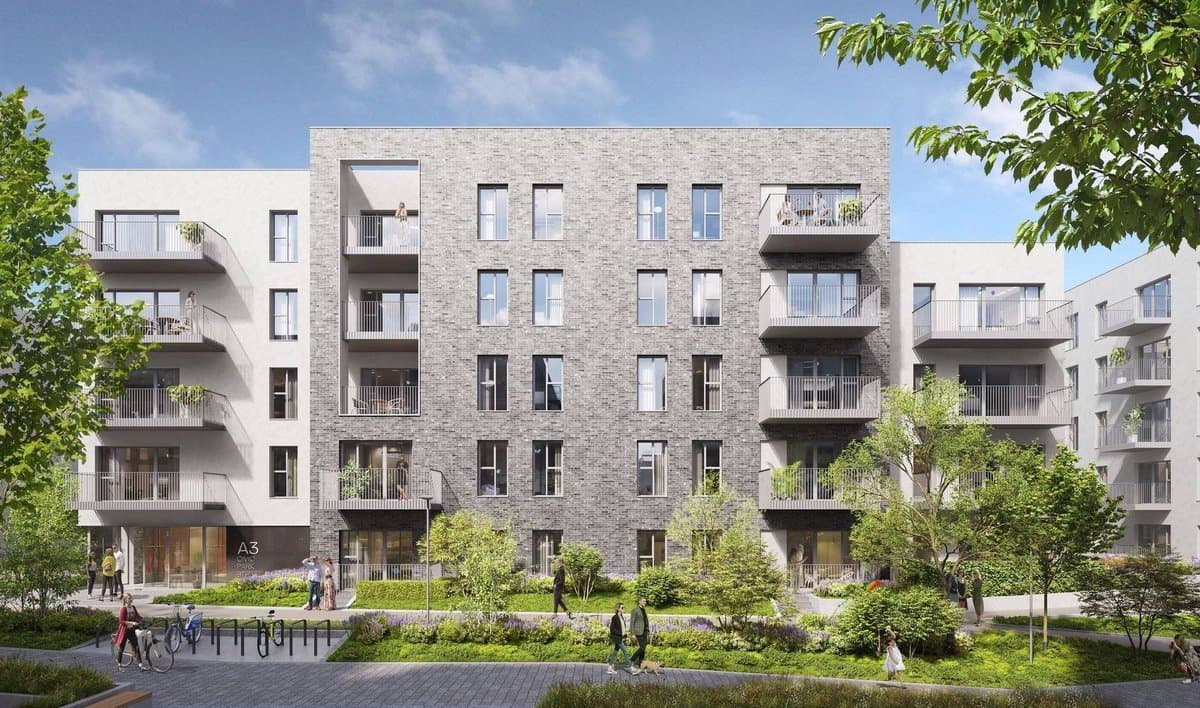
Amends a permitted 200-apartment scheme in Macnebury to drop its basement and cut car parking from 241 to 160 spaces.
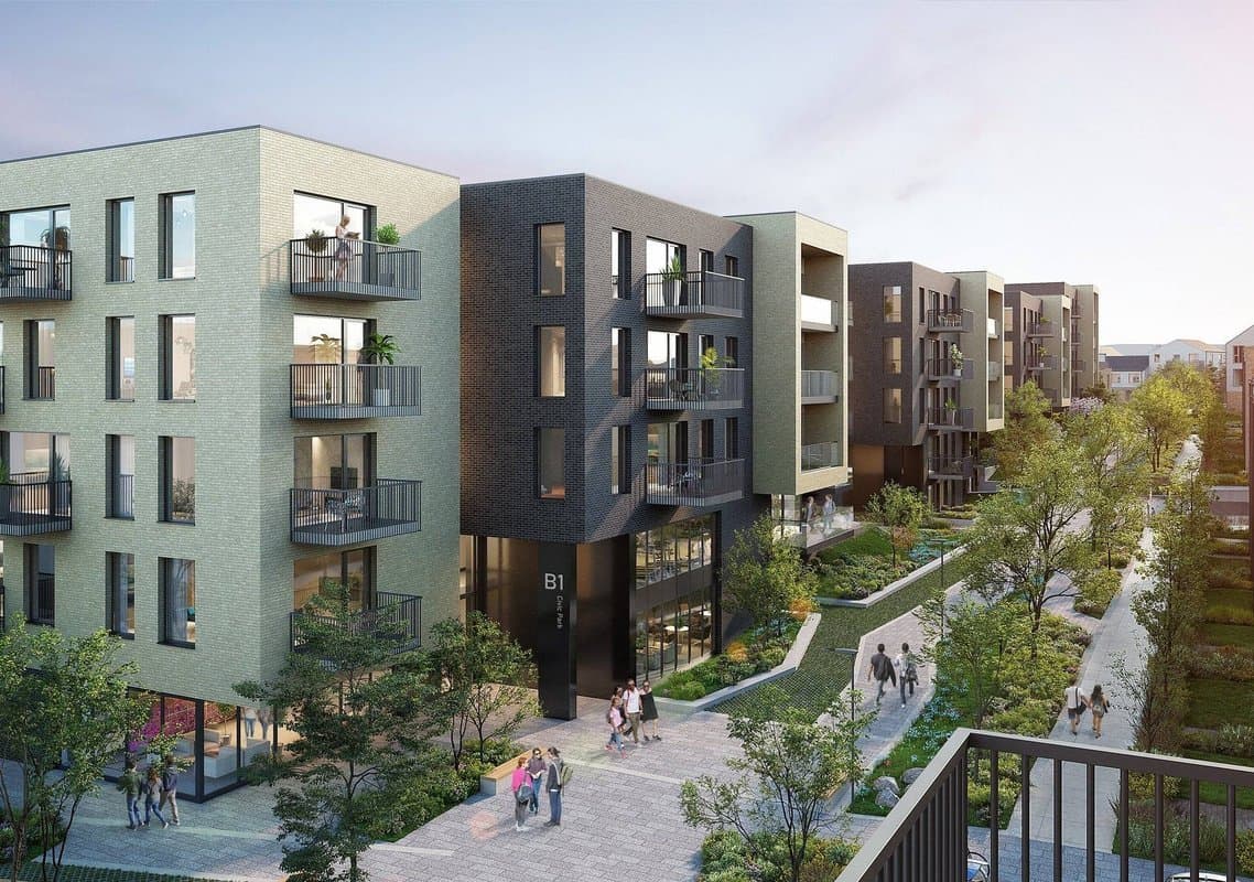
Granted · 1 May 2025
Amends a permitted Macnebury apartment scheme to cut car parking from 312 to 213 spaces and add bike, bin and storage buildings, with no change to the homes.
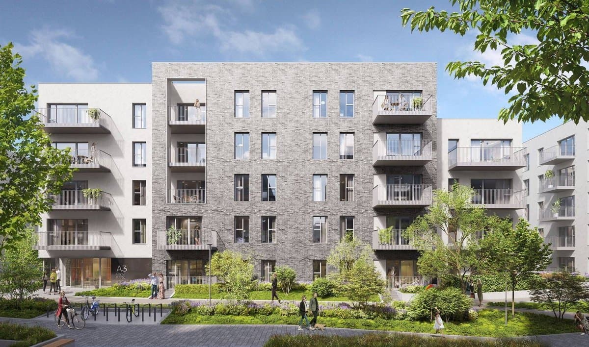
Refused or withdrawn · 6 Feb 2025
Amends a permitted 200-apartment scheme in Macnebury to drop its basement and cut car parking from 241 to 160 spaces.
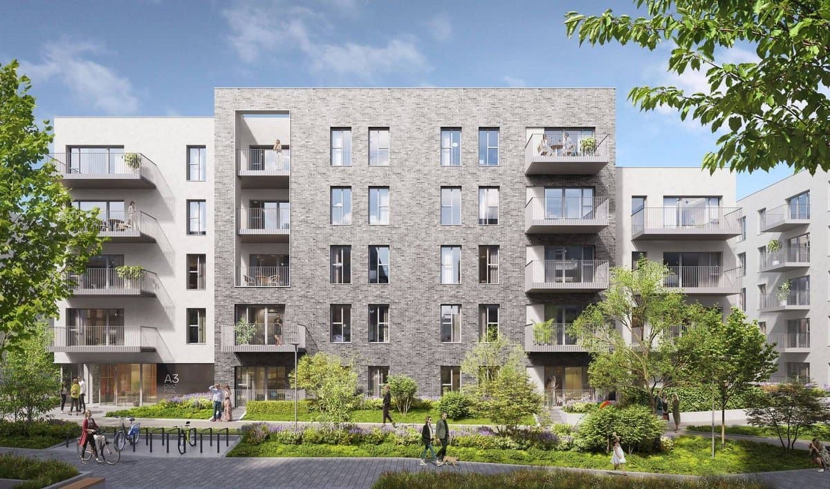
Refused or withdrawn · 3 Jan 2025
Amends a permitted Macnebury development by removing its basement and cutting car parking from 241 to 160 spaces.