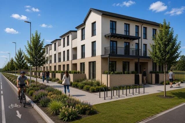
约 1.6 公里的新道路,包括 Beckett Road 及其从 Wyattville Link Road 下方穿过的地下通道,另在一座古代楔形墓周围建公园。
Townlands of Laughanstown, Glebe, and Cherrywood, Dublin 18, (also Co Dublin)
- 1.6
- 公里道路
- 42
- 米地下通道
- 0.7
- 公顷公园
Townlands of Laughanstown, Glebe, and Cherrywood, Dublin 18, (also Co Dublin)
正在从议会网站加载文件…
在 Cherrywood SDZ 修建新的公共道路和管线,开发土地,并连接已获批的道路。
Beckett Road,包括从 Wyattville Link Road 下方穿过的 42 米地下通道(需临时改道约 0.3 公里),另有 Bishop Street、Cherrywood Avenue 和 Gun and Drum Hill Road 的部分路段,以及 Lehaunstown Lane 绿道的一处过街设施。包括人行道、自行车道和交通信号灯。
在一座楔形墓周围建约 0.7 公顷的口袋公园。楔形墓是受保护建筑(受法律保护的历史建筑)和国家古迹。附近还有一座石冢。
地表雨水排水设施,包括一个临时雨水池,另有绿化。
由 AI 根据议会的描述撰写。以文件为准。
This application relates to development in Cherrywood Strategic Development Zone (SDZ) and is subject to the Cherrywood Planning Scheme 2014 (as amended). Permission for the development. The proposed development will comprise roads and infrastructure to form part of public road network providing access and services for the future development if the adjoining SDZ lands and linking to the previously permitted roads and infrastructure as approved under the Cherrywood SDZ Planning Scheme 2014 (as...
This application relates to development in Cherrywood Strategic Development Zone (SDZ) and is subject to the Cherrywood Planning Scheme 2014 (as amended). Permission for the development. The proposed development will comprise roads and infrastructure to form part of public road network providing access and services for the future development if the adjoining SDZ lands and linking to the previously permitted roads and infrastructure as approved under the Cherrywood SDZ Planning Scheme 2014 (as amended), as follows:- Beckett Road from Junctions E2 to F and F to G including a c.42-metre-long underpass below the Wyattville Link Road (WLR). The construction of the underpass will require temporary diversion and reinstatement of c.0.3km of the Wyattville Link Road to the east of Junction 16 of the M50; Proposals for Lehaunstown Lane Greenway crossing incorporating universal access including retaining walls and hard and soft landscaping; Part of Bishop Street from Junctions F to F1 to tie-in with Bishop Street permitted under Reg. Ref. DZ15A/0758; Cherrywood Avenue from Junction G to H with associated tie-in to Cherrywood Avenue H to A3 permitted under Reg. Ref. DZ17A/0862 and tie-in to Cherrywood Avenue H to WLR; Part of Gun and Drum Hill Road extending north east of Junction E2 to connect to Mercer's Road's permitted under Reg. ref. DZ19A/0597; Surface water drainage infrastructure for lands north of Lehaunstown Lane includes a temporary attenuation tank west of the junction Gun and Drum Hill and Mercer's Road and connection to the permitted pipe network under Reg. Ref. DZ19A/0597. The lands to the south of Lehaunstown Lane connect to the existing surface water network within Cherrywood Avenue; The development includes proposals for the Class 2 open space area / pocket park (c.0.7ha) surrounding a Protected Structure 'Wedge Tomb DU026-024' (National Monument No. 216) and 'Cairn DU026-153'. The total road length proposed is c.1.6kms, of which c.1.3kms is new road, c.0.2kms is new spurs and c.0.1kms relates to works to existing roads i.e. Cherrywood Avenue, Bishop Street and Lehaunstown Lane. Permission is also sought for associated footpaths and pedestrian crossing points, cycle lanes. hard and soft landscaping including screen fencing, public lighting, traffic signals, directional signage, underground services (surface and foul water drainage and watermain supply) and ducting for telecoms and all associated ancillary site and development works.