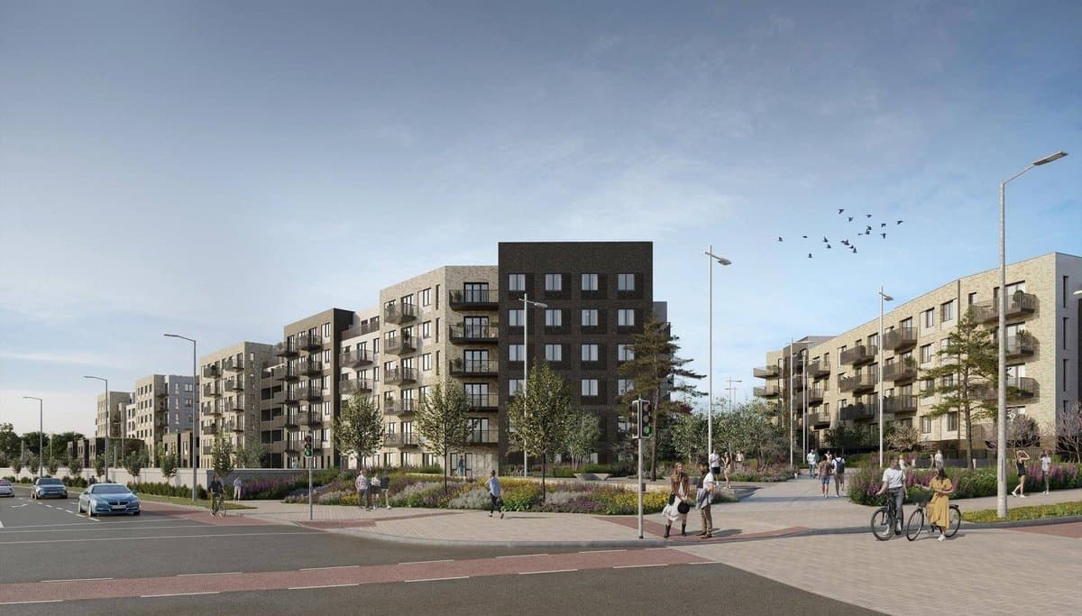
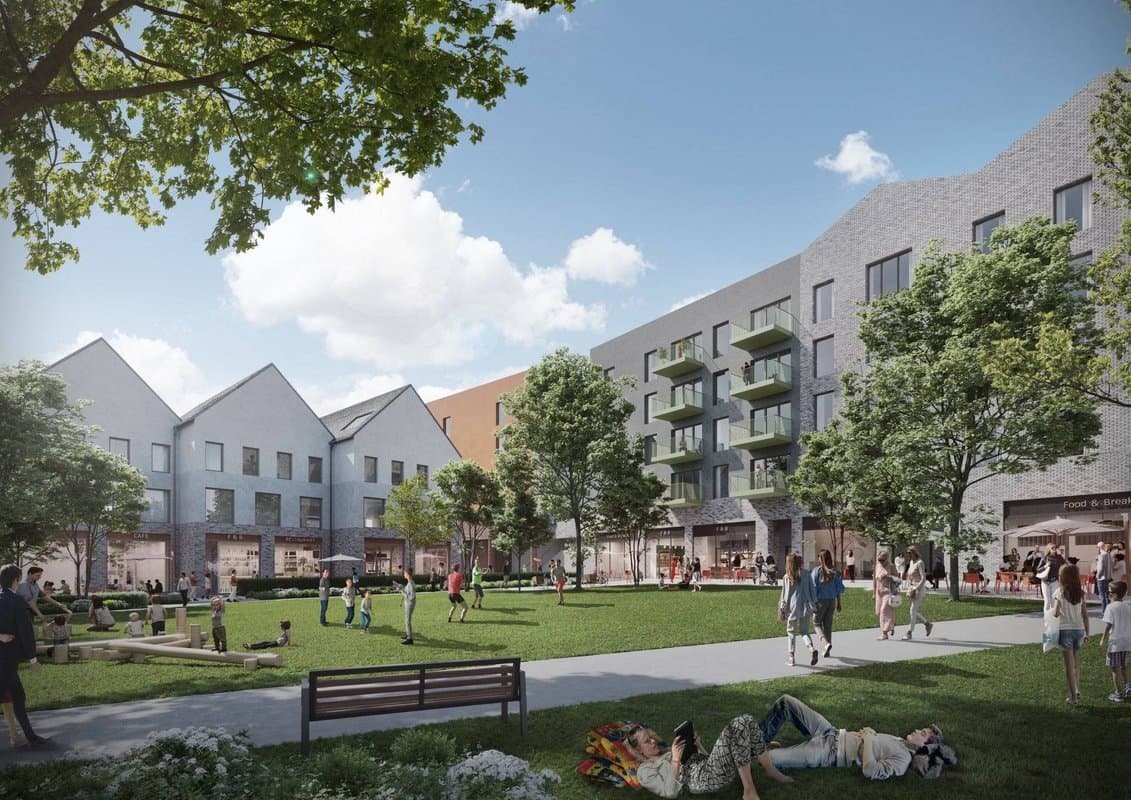
Permission. This application relates to development within the Cherrywood Strategic Development Zone (SDZ) and is subject to the Cherrywood Planning Scheme 2014, as amended. The site of the residential development is located in the Cherrywood Planning Scheme Area and forms part of Development Area - Lehaunstown. The area of residential development of this application is approximately 3.73Ha and is generally bounded by Barrington's Road to the north, the Green Luas Line and Grand Parade to the east, lands permitted under Planning Reg. Ref. DZ20A/0399 to the west and Castle Street and Lehaunstown Lane to the south. The development proposed consists of 482 no. Dwellings (total gross floor area of c.63,250 sqm) in a mixture if houses, duplexes, triplexes and apartments comprising of the following: 4 no. 3 storey 3 bedroom houses; 445 no. apartment units accommodated in 5 no. blocks up to 5 floors in height over partial basement comprising 155 no. 1 bedroom units, 243 no. 2 bedroom units, 26 no. 3 bedroom units, 9 no. 2 bedroom duplexes, 2no. 3 bedroom duplexes and 10 no. 3 bedroom triplexes; 15 no. 2 bedroom apartments and 18 no. 3 bedroom apartments in 3 storey duplexes; The provision of c.4,344 sqm of private communal amenity space in the form of podium level courtyards and green roofs. The provision of 7,058 sqm of public open space, including a neighbourhood plaza and a pocket park. All ancillary and associated site development works, including the provision of bin stores and bicycle parking; The provision of 559no. Car parking spaces to serve the residential development comprising 495 no. basement car parking spaces and 64 no. surface car parking spaces; The provision of internal road network including new road carriageways, pedestrian and cycle paths and facilities including connections to Lehaunstown Lane, Barrington's Road, Grand Parade and also to Castle Street. A 10m wide ecological buffer between the proposed development and Lehaunstown Lane; The application also provides for the use of existing roads at Castle Street , Bishop's Street (both permitted and constructed under Reg. Ref. DZ15A/0758) and a permitted road at Cherrywood Avenue (Reg. Ref. DZ17A/0862) which are required to be used for construction and site access to the residential development from Valley Drive and the Wyattville Link Road. These roads amount to approximately 8.28Ha. The use of 1 no. existing junction on Castle Street to serve as the vehicular access for the development, together with 1no. Junction to provide maintenance access to the proposed temporary attenuation pond and a temporary bus turn back facility (both already permitted under Reg. DZ20A/0399); 2 no. separate access/egress points to the basement car park are provided. The extension of Castle Street westwards to the Ticknick Stream, together with a temporary bus turn back facility and a temporary attenuation pond all in Development Area 3 - Priorsland (each already permitted under Reg. DZ20A/0399). The application also provides for a pocket park and detention basin and the use of a greenway all as permitted under Reg. Ref. DZ20A/0399. This application includes a minor amendment to the junction located at the northern end of the greenway as permitted under Reg. Ref. DZ20A/0399. The spreading of pale flax seed on lands at the M4 development tile, located at the junction of Castle Street and Bishops Street. The excavation of approximately 58,250 cubic metres of excess soil spoil from these lands at Development Area 1 - Lehaunstown to other lands under the Applicants control. 41,800 cubic metres of which will be used to reprofile lands in Development Area 8 - Tully, located proximate to the junction with Gun and Drum Hill Road and Castle Street which is permitted under Reg. Ref. DZ20A/0552. 16,450 cubic metres of which will be stockpiles on other lands in Development Area 8 - Tully, within the Applicants control; The total area of the planning application site amounts to approximately 19.36Ha. This planning application includes an Environmental Impact Assessment Report.